Description
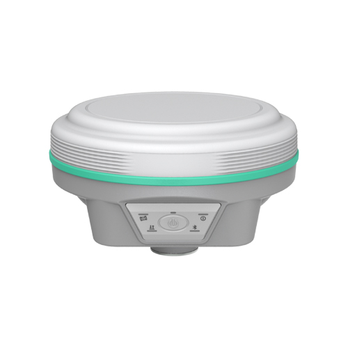
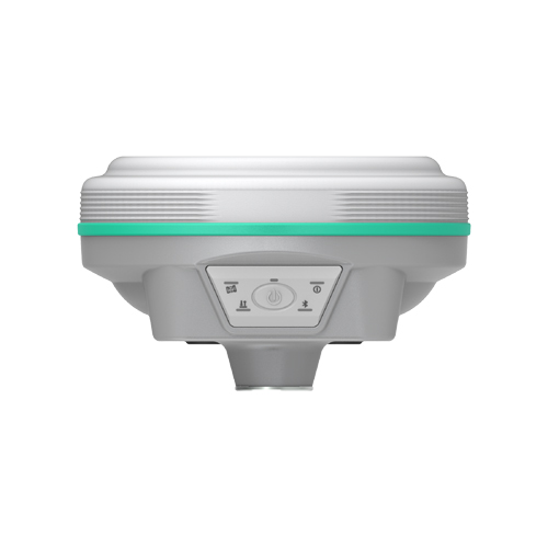
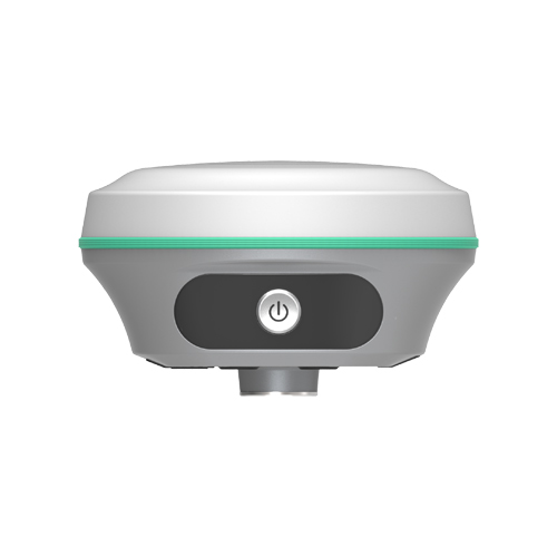
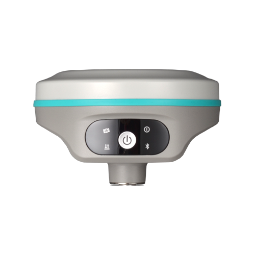
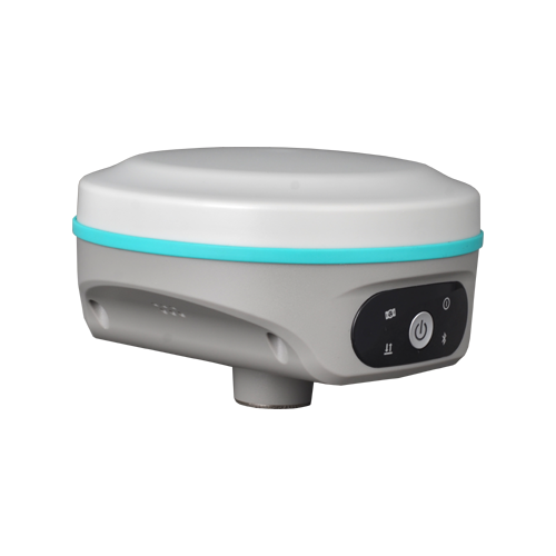
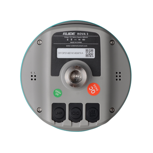
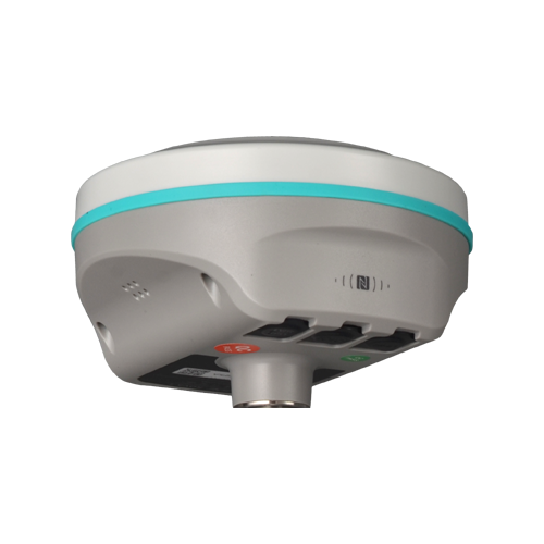
New Design for New ROVA3
With the high-gain GNSS antenna of our latest design in 2025, the usability of Glonass & Galileo satellites is greatly improved, so even in ROVA3 still is able to track more satellite than other receivers and deliver centimeter accuracy positioning result in few seconds.

Galileo HAS and BDS PPP are available!
By receiving corrections delivered directly from L-band satellites, ROVA3 allows you to achieve 10 to 20 centimeter-level accuracy with only one rover on hand when base receiver or CORS service is not accessible in remote areas. (this function requries registration code, please apply from your dealers)
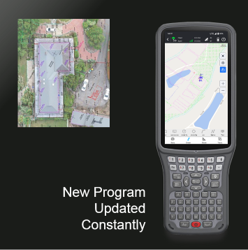
RTK Go 2025 Onboard
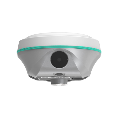
RTK GO app now features Laser measurement and Visual Positioning, Measure & Draw, CAD Draw, CAD Stakeout, Live-View Stakeout, Total Station Module… with a series of new functions. GEO Data Lab has been updated with 3D modelling, RTK-PPK check, long baseline adjust… More New functions.
Farlink Pro Radio
ROVA3 features Farlink Pro radio module and protocol. Which can transmit large quantity of data with very less loss. It is special designed for surveyors who need to work in harsh environment.
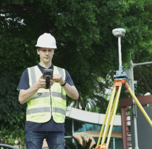
The 5th Gen. IMU
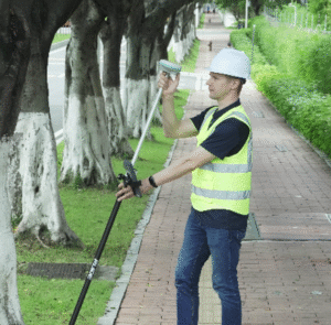
ROVA3’s IMU sensor is almost all-time available. When surveyor rotate the pole while walking, or changing the attitude of the receiver, the availability status won’t be easily lost. The IMU is calibrate-free.