Description
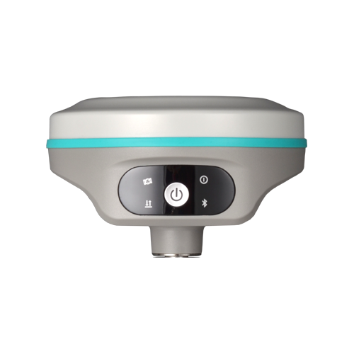
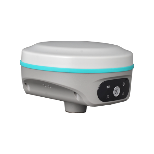
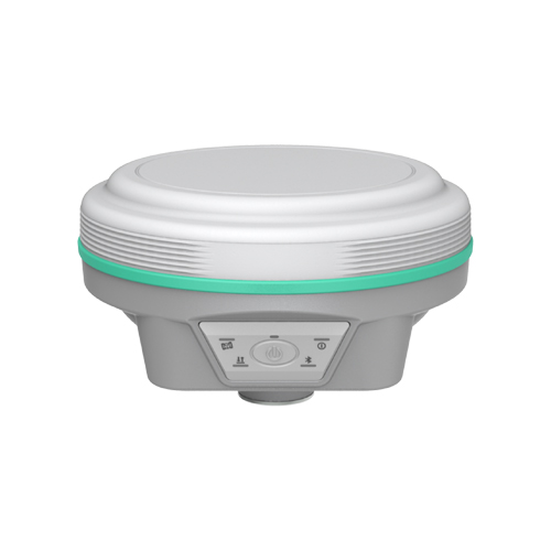
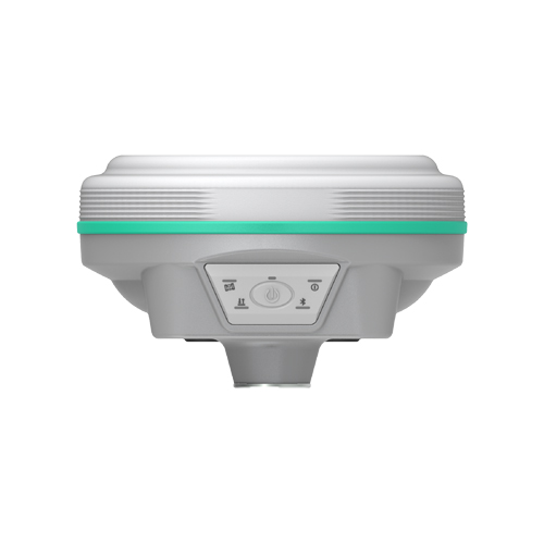
New Generation GNSS Engine S805
Through years of development of multi-satellite positioning algorithms, now we introduce S805 GNSS Engine to you. S805 features 1698 channels, superior GNSS signal capturing capability, better success rate, faster speed of obtaining fixed-solution.

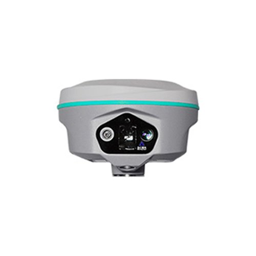
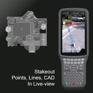
Dual Camera Stakeout
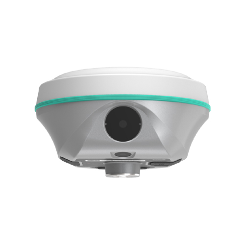
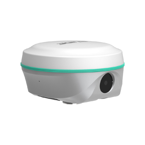
When users perform stake-out with a dual-camera GNSS receiver, the software can call upon both cameras to work together. It greatly saves time and increases efficiency. AR guide lines can be displayed in point staking out, line staking out, and CAD staking out programs.
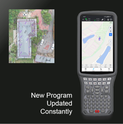
New Software Up-to-date
RTK GO app now features Visual Positioning, Measure & Draw, CAD Draw, CAD Stakeout, Live-View Stakeout, Total Station Module… with a series of new functions. GEO Data Lab has been updated with 3D modelling, RTK-PPK check, long baseline adjust… More New functions.
Farlink 2.0 Radio
RENO 2s’ Farlink radio module has been updated to 2.0 version, which can transmit large quantity of data with very less loss. Base-lock function has been added too.

The 5th Gen. IMU
RENO 2s’ IMU sensor is almost all-time available. When surveyor rotate the pole while walking, or changing the attitude of the receiver, the availability status won’t be easily lost. The IMU is calibrate-free.
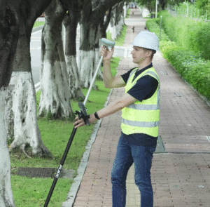
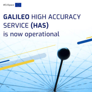
Galileo HAS and BDS PPP are available!
By receiving corrections delivered directly from L-band satellites, RENO2s allows you to achieve 10 to 20 centimeter-level accuracy with only one rover on hand when base receiver or CORS service is not accessible in remote areas. (this function requries registration code, please apply from your dealers)