Description
Prism Plus RTK, Performance Enhanced!
Now RTS1 is allowing surveyors to combine their GNSS RTK into total station measurement, by installing RTK receiver above the prism.
When the prism is temporarily getting out of the line-of-sight, RTS1 can use RTK positioning data to find the prism. Once the prism is moving out from the obstacle, total station can re-sight at it immediately. It saves a lot of time of prism re-searching.
Advanced Hardware, Superb Experience.
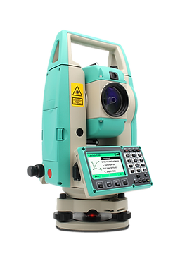
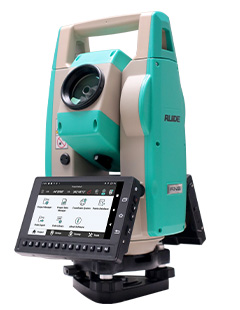
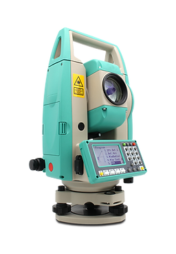
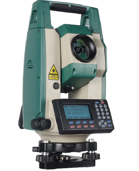
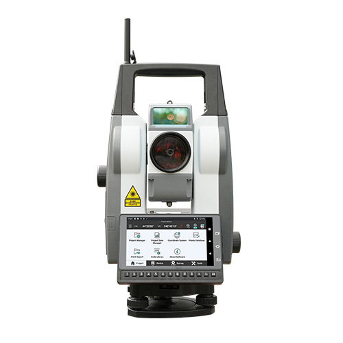
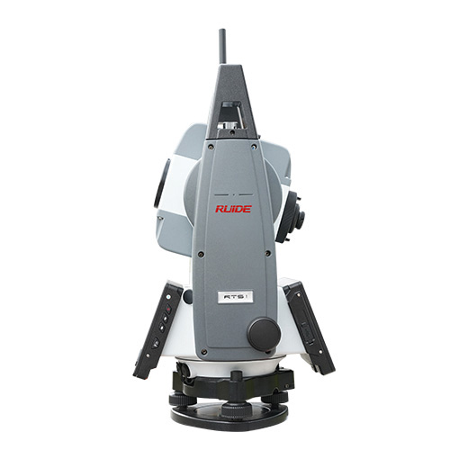
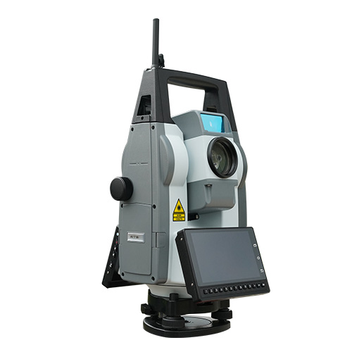
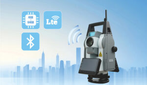
RTS1 features 4 64GB Memory & 4G LTE internet connection, data file storing and sharing is convenient. The 5.5 inches touch screen and the 13 shortcut keys help users view the data intuitively and operate quickly. Zigbee Long-range communication module can provide a stable connection between total station and data logger in maximum 600m range.
The hardware configuration has been proven in different measurement tasks and working scenarios.
RTK-GO App, More Capable & Enjoyable.
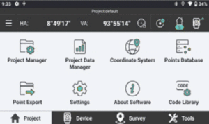
Previously, RTK-GO App can be used with RUIDE GNSS receiver, manual total station, now it comes to Robotic Total Stations.
Graphical and iconic guidance helps you collect data and conduct staking out efficiently.Map-driven workflow provides you intuitive guidance and real-time feedback.
Automated Monitoring, Reliable and Resultful.
Previously, RTK-GO App can be used with RUIDE GNSS receiver, manual total station, now it comes to Robotic Total Stations.
Graphical and iconic guidance helps you collect data and conduct staking out efficiently.Map-driven workflow provides you intuitive guidance and real-time feedback.